Geology / Environmental Geology
What makes Millersville geosciences special?
Students in the Environmental Earth Sciences and Geosciences programs develop the knowledge, technical expertise, and professional skills needed to succeed in a wide range of environmental and geologic careers. Our curriculum fulfills all academic requirements for professional geologist licensure, and our students consistently achieve excellent outcomes on the licensing exam.
Our students gain extensive hands-on experience through fieldwork, where they apply geologic concepts learned in the classroom. Students practice measuring and interpreting geologic features under the guidance of experienced faculty. This emphasis on experiential learning ensures that students not only understand the science but also know how to put it into practice.
Class size typically ranges from 15 to 24 students, fostering a collaborative learning environment while allowing faculty to provide personalized attention and mentorship. Students benefit from close interaction with their professors and peers, creating opportunities for meaningful discussion, teamwork, and individualized support.
Throughout the program, students strengthen their critical thinking, problem-solving, and communication skills through research projects, technical writing, and professional presentations. Faculty provide regular feedback and mentoring, helping students refine their abilities, learn from challenges, and graduate as confident, capable, and well-prepared geoscientists.
Rock Solid Preparation
Millersville University geology graduates passed the most recent Fundamentals of Geology Examination at a rate of 80%. This pass rate is well above the national average of 58%. In nearly all content domains of the exam, the Millersville geology alums exceeded the national average, in some cases by over 10 percentage points. The Fundamental of Geology Examination is a four hour test administered by the National Association of State Boards of Geology. It has been established to assess common knowledge and skills in geology throughout the nation.
Students Present at Geological Society of America Meeting
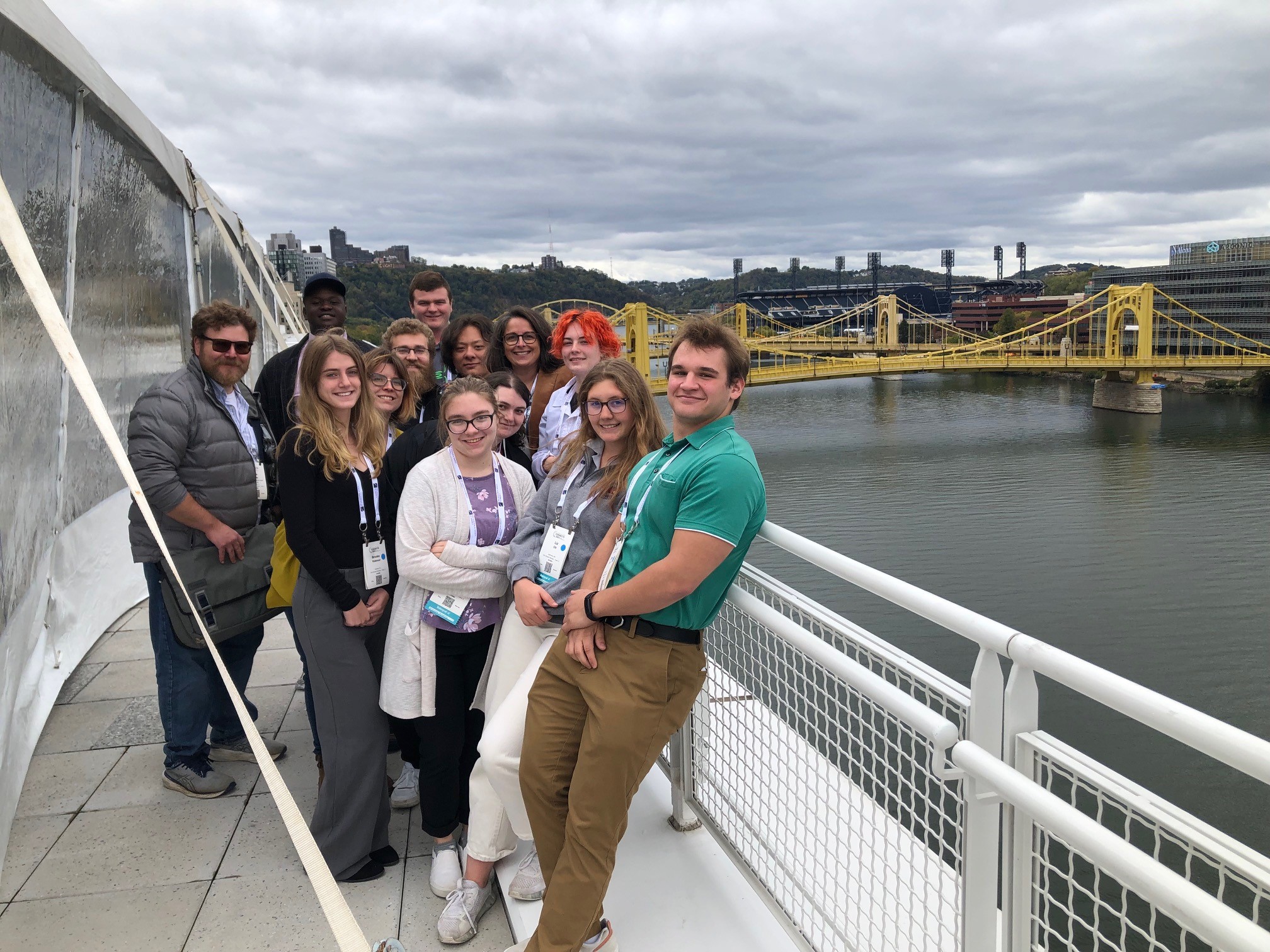
Geoscience students regulary attend the annual meeting of the Geological Society of America and/or the Northeast Regional meeting of the GSA. Students present their research at the meeting as well as participate in seminars on career readiness, attend sessions on their favorite geoscience topics such as planetary geology, and explore the myriad of opportunities available in the geoscience field.
Hands-On Experiences
Our students hone their craft in both the lab and in the field. Students use advanced software and laboratory equipment to analyze and model complex geological problems. And extensive field experiences allow our students to apply the skills learned in the classroom to gain a better understanding of the earth system.
LOCAL
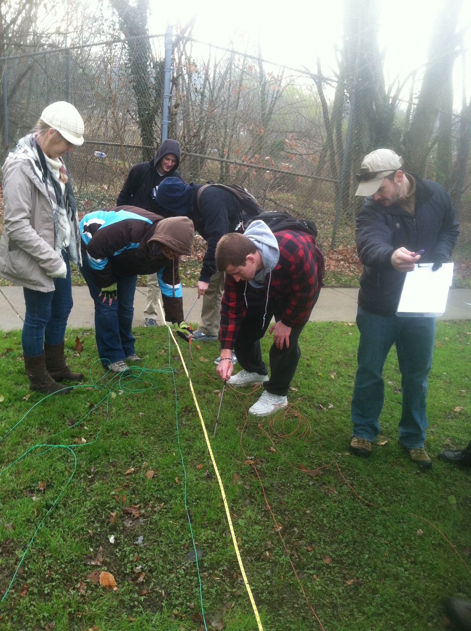
Whether on campus or a short drive away, our faculty take students outdoors to gain hands-on field experience. In this picture, students in our Applied Geophysics class use a magnetometer to locate a buried 'waste' drum. Students also use seismic refraction to determine depth to bedrock. Students in hydrology classes map a nearby stream channel and measure water velocity at multiple points to determine stream discharge.
 Pennsylvania
The geomorphology class travels across Pennsylvania examining the impact of Pleistocene glaciers on the landscape. In this photo, students are standing on a diabase sill that is exposed along the banks of the Susquehanna River. The landforms of the surrounding area (including water gaps, river terraces, and potholes) are the result of the interplay between melting glaciers and the underlying rock.
 Northeast and Mid-Atlantic
Students in classes such as Structural Geology and Sedimentaiton and Stratigraphy take field trips to Bear Valley in PA and the Hudson Valley of New York. Students are standing on vertical beds of Becraft Limestone deposited during the lower Devonian (~400 million years ago). Students mapped contacts between various formational units and created a map to be used in a cross-sectional interpretation of a fold and thrust belt environment.